Maryland's Environmental Resources and Land Information Network
MERLIN Online is part of the MD iMap mapping system. If the map or layers are not loading correctly, please check the
MD iMAP Twitter page for any service alerts that may be affecting map performance. Clearing your browser cache may also help if the map is not loading correctly. MERLIN Online works best in the Mozilla Firefox Web Browser.
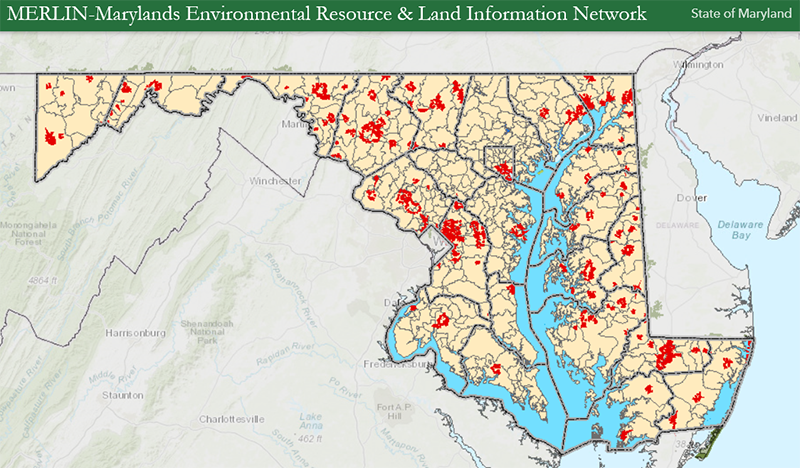
MERLIN Online was developed back in the late 1990s to allow users to view spatial data and to use that information to make better informed decisions. It allows users to produce a custom map of any location in Maryland, including their choice of base maps and data layers.
For the advanced user, MERLIN Online data is available as Web Map Services (WMS) that can be incorporated into many desktop GIS applications and other online mapping tools. More information can be found at the
MD iMap Portal. Instructions for adding services to desktop GIS programs can be found at
https://imap.maryland.gov/pages/training-documents.
MERLIN Online should be used for guidance purposes only.
Previous version of MERLIN can be found
here.
Contact Staff
Kevin J. Coyne
Department of Natural Resources
Center for Geospatial Products and Services
580 Taylor Avenue
Tawes State Office Bldg.
Annapolis, MD 21401
kevin.coyne@maryland.gov
410-260-8985
